Roger J. Wendell
Defending 3.8 Billion Years of Organic EvolutionSM

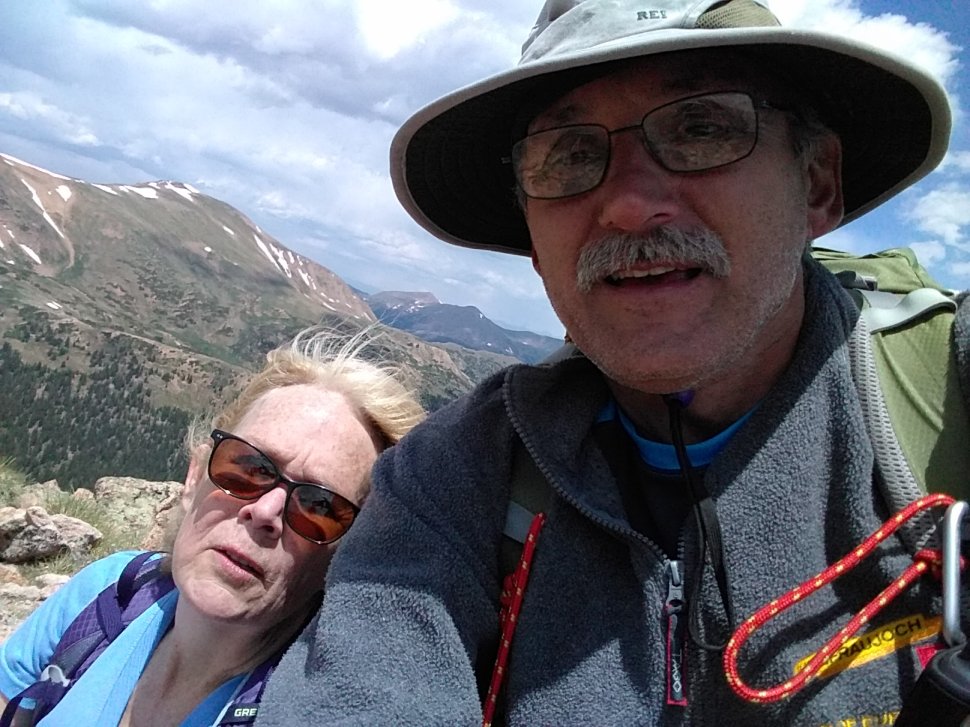
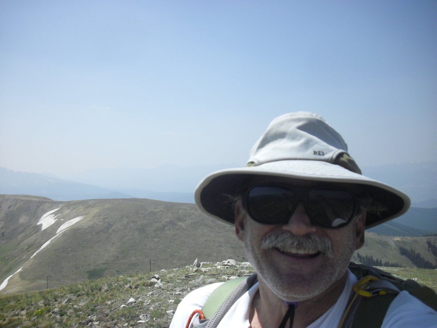
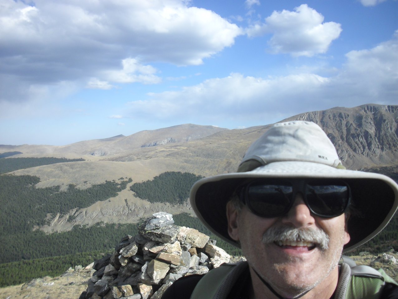
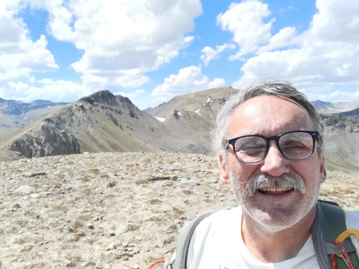
Me on Peak 1 (unranked 12,806 ft)Thoughts, notes, and pictures that relate to peaks between 3,657 and 3,962 metres (11,999 & 13,000 ft) in height around my favorite state, Colorado, and other interesting places in neighboring states and around the world!
(Also referred to as "Twelvers!")
A note about "POTA" and "SOTA"
At age 70, in 2025, I reduced the hours at my regular job down to just one day per week, becoming "mostly" retired. That gave me more time to pursue my love of Morse code, hiking and mountaineering. As such, I was able to combine these pursuits by operating QRP amateur radio in parks and on summits. So, anytime you see the acronyms "SOTA" (Summits on the Air) or "POTA" (Parks on the Air) next to a peak or place name it means I successfully "activated" that location using amateur radio.
NOTE: LIDAR (Light Detection and Ranging) was put into use many decades after I started hiking and climbing. LIDAR is a more accurate way of measuring the Earth's surface and, as such, has changed what was believed to be the elevation of many mountains and highpoints. As a result, the "prominence" (at least 300 feet above a connecting saddle) of many mountains has changed along with their elevations. A personal example, for me, is Republican Mountain - a previously "unranked" 12er near Silver Plume that I climbed in 2022 after learning that LIDAR had determined it now had 312 feet of prominence. Peak 8, near Breckenridge is another personal example of change brought on by LIDAR. When I originally climbed Peak 8 I believed it to be a 12er, only to learn later that it's actual elevation is 13,005 feet! So, in summary, many of the elevations you see on my pages may not (yet) be accurate - requiring an update someday in the future as time permits!
|
|
Click Here for my 14ers page... |
|
|
Click Here for my 13ers page... |

|
Click Here for the Ten Essentials - Don't leave home without 'em! |
|
|
Click Here for my page on highpoints... |
|
|
Click Here for my general notes Climbing and Mountaineering. |
|
|
Click Here for other peaks and mountaintops that I've summited... |
How many Colorado 12ers are there and who was first to climb all of them??
YouTube - Climbing Bison Peak in Colorado's Lost Creek Wilderness (12,435 feet/ 3,790 metres)According to a December 17, 2010 Examiner.com article, by Jilly Salva; Bob Martin, Mike Garratt, Ken Nolan, Jack Dais, and Teresa Gergen were the first five people to have climbed all of Colorado's 12ers. In the article, Salva asks Gergen, the first woman to complete all 1,313 of Colorado's ranked peaks over 12,000 feet, how many 12ers there are in the state:
"To answer that requires a little preliminary explanation. The elevation lists count "ranked" peaks. A ranked peak has at least 300 feet of prominence, or, in simple terms, rises at least 300 feet above the saddle connecting it with its next higher neighboring peak. Whether or not a peak has a name is irrelevant. Secondly, climbing 'all the 12ers' means climbing all the ranked peaks over 12,000 ft. There are 53 ranked 14ers (El Diente and North Maroon are unranked, and Challenger is ranked, hence the deviation from the traditional number of 54 14ers in the state), plus 584 13ers, and 676 12ers, for a total of 1,313 ranked peaks over 12,000 ft."
Having lived in Colorado most of my life, I probably climbed a couple dozen "12ers" either intentionally or by accident, by age 50, while looking for other peaks (especially before the days of GPS!). Unfortunately I didn't think of creating this page or recording any of those climbs until I accommpanied Sacha Bobst and Tom and Linda Jagger up Bison Peak (12,435 ft) on Veterans Day '11, when I was 55 years old...
After such a fun hike, through mixed conditions (some snow and ice), it seemed a good idea to start tracking 12ers with something more than just a "went hiking today" note in my outdoor log! So, as time permits I'll start entering my 12er data and pix here as I complete new peaks or find records of ones that I climbed in the past. Either way though, it's clear that 12ers can provide their own challenges, especially in winter, despite being considerably lower in elevation than that of the 13ers and 14ers I describe on my other pages.
- Roger J. Wendell
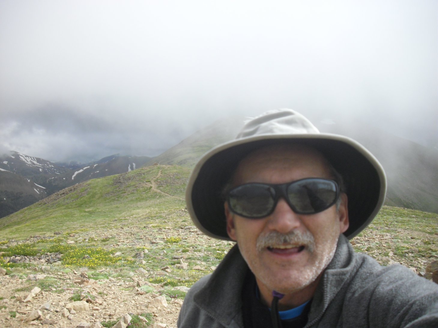
List of Colorado 12ers I've climbed, so far...
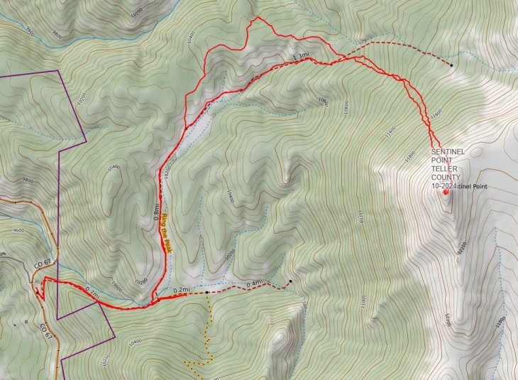
Glacier Peak GPS generated route map(I'm still searching my old notes for climbs that have yet to be recorded here!)
|
|
12ers Outside Colorado:
- Arizona - Humphreys Peak (12,633 ft) - July 29, 2012 [with Aidan McGuire]
- Idaho - Borah Peak (12,666 ft) - August 12, 2012
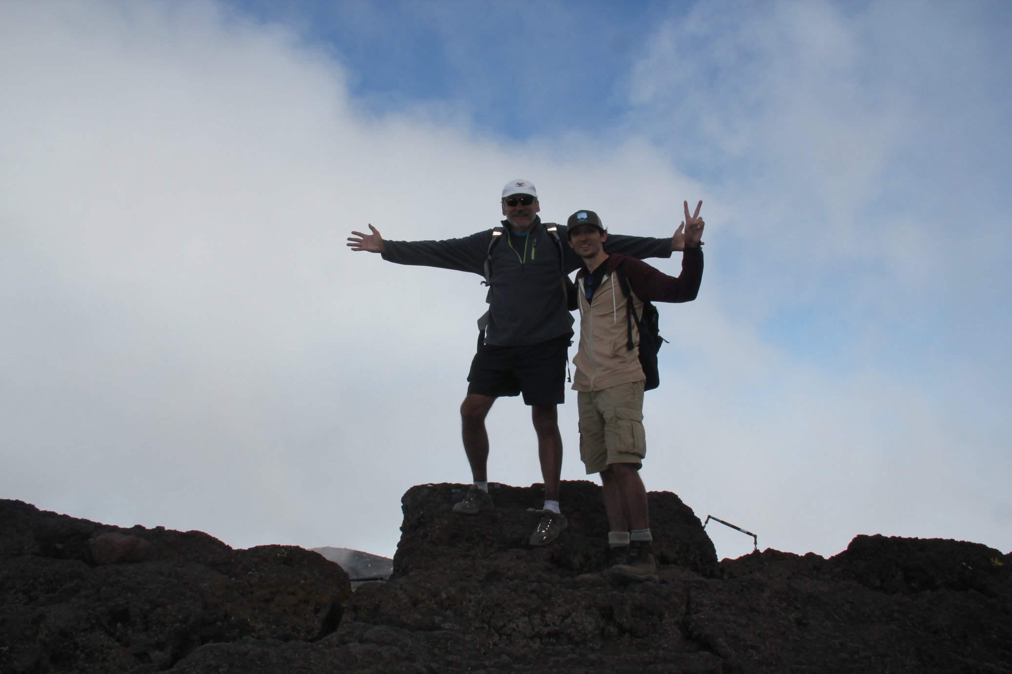
- Japan - Mount Fuji (Ken-ga-mine 12,388 ft) - July 20, 2017 [with Dr. Roger A. Wendell]
- Montana - Granite Peak (12,806 ft) - July 29, 2015 [with Mark Zimmer]
- Utah - Manns Peak, La Sal Range (12,272 ft) - October 02, 2021
- Utah - Peale, Mount, La Sal Range (12,721 ft) - September 20, 2015 [CMC trip led by Steve Bonowski]
- Utah - Tukuhnikivatz, Mount, La Sal Range (12,482 ft) - September 20, 2015 [with Claude Neumann and Jesse Bray]
- Wyoming - Medicine Bow Peak, Alabany County (12,0016 ft) - July 07, 2024 [with 79-year-old Bob Huey!]
Unranked Sub Peaks: (12er Points of interest that I've climbed that don't have enough prominence to be considered a peak in their own right...)
- Colorado - Bear Mountain, Front Range (12,585 ft) - August 14, 2020 [On my way to Independence Mountain from Keystone]
- Colorado - Blaine, Mount (12,303 ft) - July 16, 2016 [with Steve Bonowski]
- Colorado - Flattop Mountain, Rocky Mountain National Park (12,324 ft), via the Andrews Glacier Loop - June 15, 2012 [CMC trip led by Joe Leahy - I did it again, alone, on my way up to Hallett Peak on 07-07-2018]
- Colorado - Glacier Peak (12,857 ft) Park and Summit Counties - October 30, 2012 [CMC trip led by Dominique Hershberger with Beth Dwyer, Candace Winkle, & Eileen O'Leary]
- Colorado - Goliath Peak (12,216 ft) - November 29, 2014 Front Range [with Steve Bonowski and Patrick Thornley and then again on 10-15-2017 with Fred Jorgensen's CMC WTS class]
- Colorado - Panorama Point, Tenmile-Mosquito Range (12,041 ft) - October 21, 2023
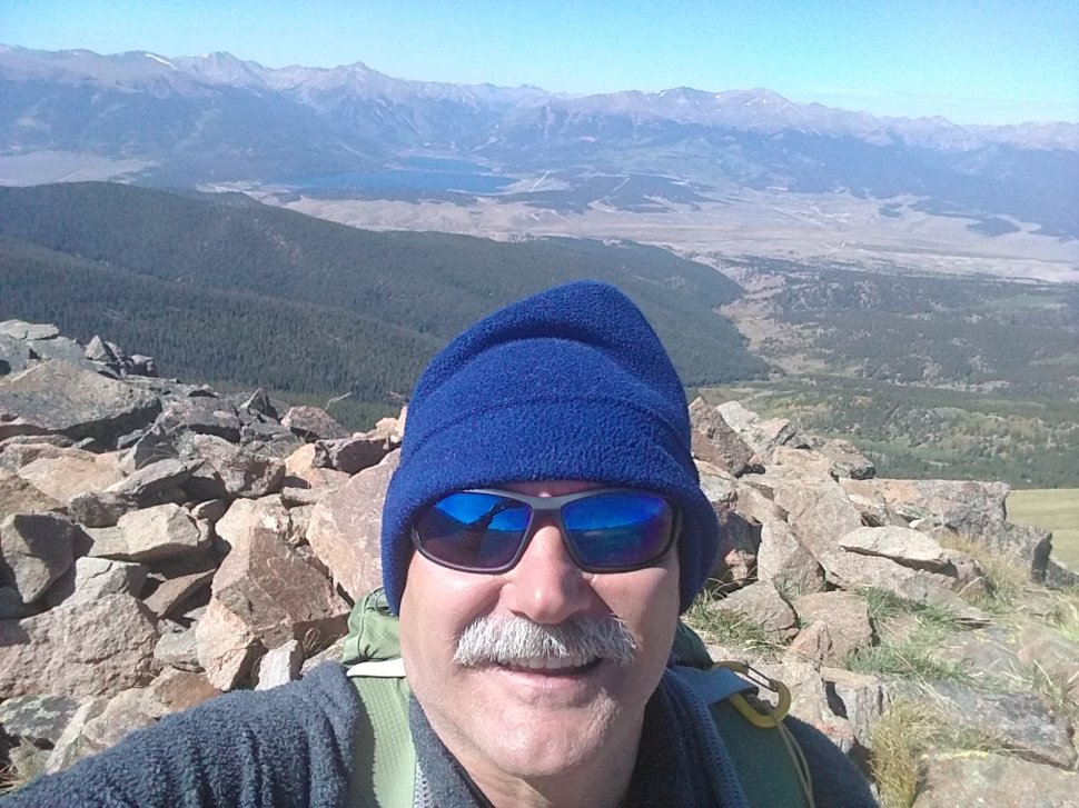
- Colorado - Peak 1, Tenmile Range (12,806 ft) - June 26, 2005 [CMC lead by Terry J. Chontos]
- Colorado - Peak 5, Tenmile Range (12,855 ft) - July 19, 2014 [with Tony Chen] and again [with just me] on August 28, 2021
- Colorado - Peak 12812, Sawatch Range (12,812 ft) - August 19, 2023 [the same day I did Twining Peak, UN 13500, Igloo Mountain - I then repeated 12812 two weeks later on 09-02-2023]
- Colorado - Point 12915 - June 16, 2018 Front Range [near Loveland Pass - listed here only because it's a nice trail junciton to Sniktau...]
- Colorado - Point 12351, Sawatch Range - October 09, 2022 [while climbing Chrysolite Mountain]
- Colorado - Point 12700, Front Range, Indian Peaks Wilderness - July 30, 2022 [while climbing Mount Neva]
- Colorado - Point 12707 (12,714 ft) - June 08, 2014 Sawatch Range [while on Dean Cates' CMC climb]
- Colorado - Square Top Mountain (12.985 ft) 08-07-2016 [with Dean Cates and Peg Flick]
- Colorado - Terra Tomah Mountain (12,718 with 4,400 feet of gain) - 15 August 2015 [CMC trip led by Fred Radtke with Ken Yaphe, Dick, Phil, and me,]
- Colorado - Trelease, Mount (12,477 ft) - December 05, 2012 [CMC trip led by Eileen O'Leary and Candace Winkle]
- Colorado - Union Mountain (12,313 ft) - August 18, 2019
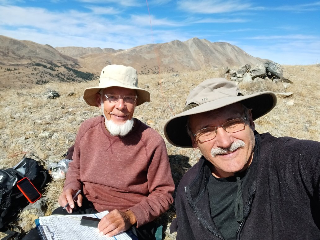
- Colorado - Unnamed 12994, (with Unnamed 12967) Clear Creek County - 09-04-2025
Click on any of this page's "thumbnail" images for a larger view!
Humphreys Peak, Arizona (12,663 feet / 3,859 metres)
Humphreys is the highest peak in Arizona - with views (when it's not "misty" like the day I climbed...) of Grand Canyon just to the north. There are a few different routes up Humpreys - I started at the Arizona Snowbowl for the standard, 1,006 metre (3,300 feet) route up...
 Snowbowl Trailhead |
 Ski resort boundary |
Snowbowl Trailhead
 Saddle |
 Trail marker |
 Further up... |
 Aldo Leopold bench on top |
Bison Peak, Lost Creek Wilderness, Colorado (12,431 feet / 3,789 metres)
Linda near the top!The Lost Creek Wilderness (LCW) Area protects almost 120,000 acres in the Tarryall, Platte River and Kenosha mountain ranges in central Colorado. This relatively new wilderness (designated in 1980) is loaded with hiking, backpacking and climbing possibilities. Typical LCW landscape will consist of mixed and very dense forests, open meadows, small streams; somewhat the norm for Colorado's high country. Upon first sight, it's possible the casual climber or mountaineer may not be too impressed with the typical LCW mountain configuration. Dense, tree- laden slopes that frequently lead to tree-covered summits could easily rekindle a forgotten bad memory, a memory that includes your most frightening bushwhacking experience.
However, despite lacking the grand alpine scenery of other Colorado wilderness areas, one can argue that LCW may be one of the most unique Wildernesses in Colorado. Upon closer inspection the LCW has its own character that no other place in Colorado can match. Character that includes some of the most bizarre rock formations you will ever see. A lot of the LCW is dominated by these incredible rock formations, including massive polished granite domes and towering spires. With elevations ranging from 8,000 to 12,400 feet, many of the mountains here sport huge, wide-open plateaus providing easy hiking and excellent views. Getting to those plateaus is another story.
 Linda near the top! |
 Tom near the top |
 Sacha takes a photo |
 Summit register |
 Summit box |
 Me on top! |
 Trailhead: What's a "Weed Scout?" |
 On the way up |
 Bison Peak Monolith with Tom |
 1894 Survey marker? |
 Concrete on the summit |
 Wooden tower on summit |
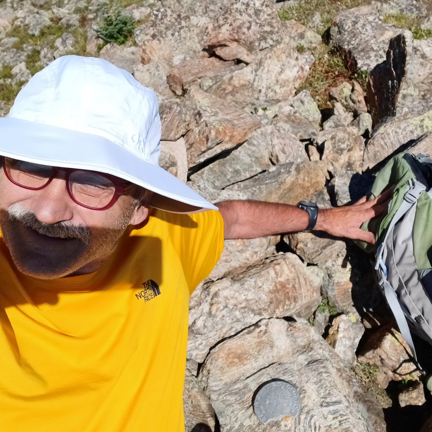
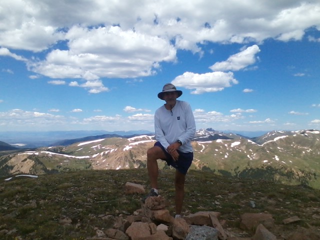
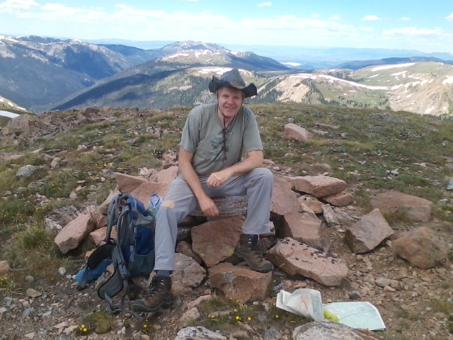
Miscellaneous 12er Pix:
 Point 12707, Colorado |
 Kataka Mountain, Colorado |
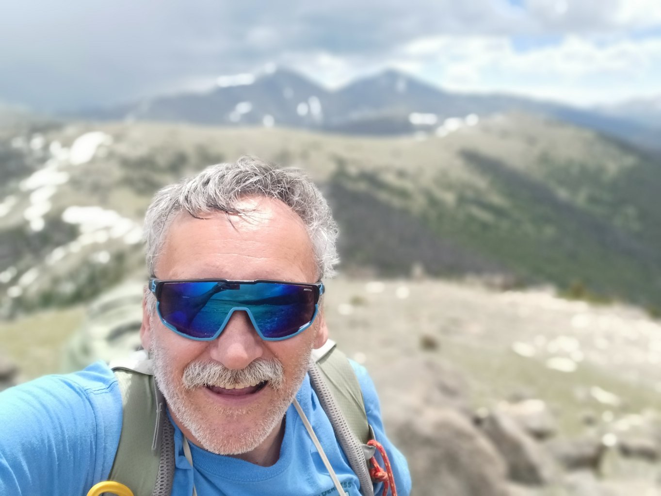
 Sentinel Point, Colorado |
Peak 1, Tenmile Range:
On June 26, 2005 CMC leader Terry Chontos took five of us to the top of this
unranked 12er [now 12,806 ft, formerly 12,805 ft] peak located near Frisco,
Colorado. The steep climb took us three hours and twenty minutes - a bit faster
than most! We made the summit during a break in the weather - enduring some
light "corn snow" and rain along certain portions of the mountain...
 Terry took this photo a week earlier on his "scouting" trip - that's Lake Dillon in the background... |
 Left to Right: George Kasynski, Chad, Terry Chontos, and "Babs" |
 Me and the remains of a remote weather station... |
 Left to Right: Me, Chad, Terry and Babs at the weather station remains - George took the photo and emailed me most of these pix! |
Although this particular flag is pretty beat up I went ahead and
posted it here, and on my 4th of July page anyway. I don't Know
who the keeper of the flag is but I'm sure their intentions are good
despite the horrendous winds that frequent this peak daily!!
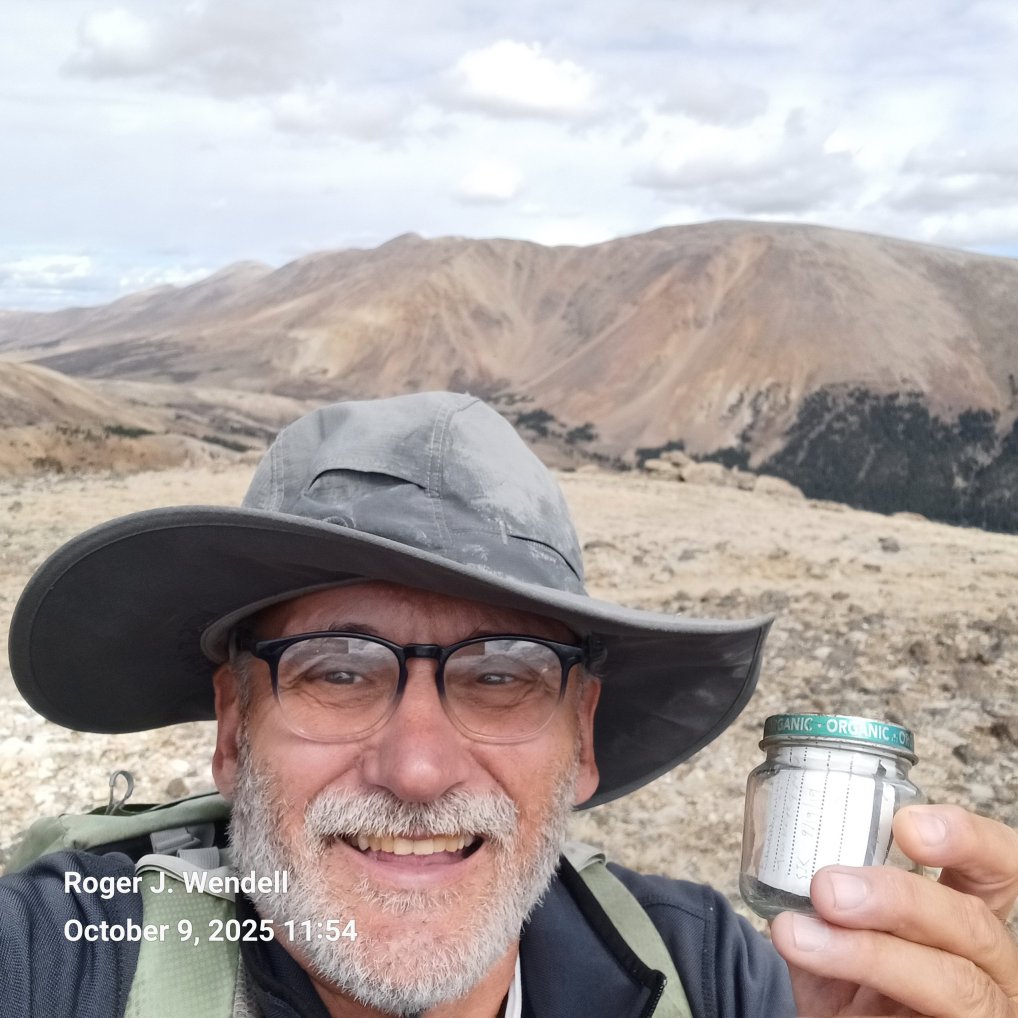
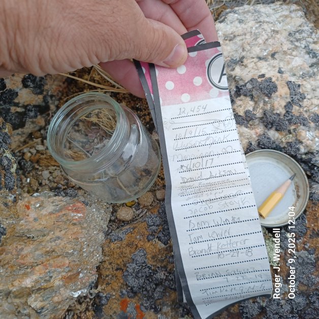
Glass Jar Summit Register on Unnamed 12,915:
Glass Jar Register
Roger and the RegisterOver the years I've also encountered dozens of "unofficial" summit registers - like this one inside a glass jar atop Unnamed Peak 12,915 feet (Near Mt. Lindsey). I would be curious to know who maintains these and where they're eventually archived - please email me if you have any info on the subject! Unfortunately I've discovered many of these glass jar summit registers either cracked, broken, or the lids so rusty that water leaks through and destroys the paper. So, I often try to air 'em out a bit when I find they're wet and then place them in a well protected portion of rock, on the summit, that's obvious for other hikers to find. Either way, it's always fun to find summit registers, even when they're on peaks as low as 12 thousand feet (3,657 m)!
|
|
Click Here for a YouTube video I took on top Unnamed 12,915 feet (3,936 metres)! |
|
|
Click Here for my YouTube video on top Bison Peak... |
|
|
Click Here for my YouTube video on top Borah Peak in Idaho... |
|
|
Click Here for my YouTube video on top Glacier Peak... |
|
|
Click Here for my YouTube video on top Humphreys Peak, Arizona... |
|
|
Click Here for my YouTube video on top Woods Mountain, Colorado... |
12er Waypoints

For personal safety, and just for the fun of it, I usually take a GPS "reading" on the top of each peak, at the trailhead, or some other interesting point or curiosity along the way. WARNING: I cannot guarantee the accuracy of these waypoints as my own GPS bounces around a lot or I simply take an incorrect reading! Please rely on a more accurate source for your Waypoints! That being said, I still enjoy "cataloging" Waypoints and I keep a bunch of other locations, from around the world, on my 13ers, 14ers, Hiking, Waypoints, and other pages...
| Bison Peak, Lost Creek Wilderness, Colorado | N 39° 14.301' | W 105° 29.870' | 12,431 feet | 3,789 metres |
| Borah Peak, Idaho | N 44° 08.244' | W 113° 46.866' | 12,662 feet | 3,859 metres |
| Colorado Mines Peak | N 39° 47.699' | W 105° 45.829' | 12,497 feet | 3,809 metres |
| Glacier Peak, Colorado | N 39° 29.057' | W 105° 53.065' | 12,853 feet | 3,917 metres |
| Greenhorn Mountain, Colorado | N 37° 52.885' | W 105° 00.801' | 12,347 feet | 3,763 metres |
| Humphreys Peak, Arizona | N 35° 20.785' | W 111° 40.677' | 12,633 feet | 3,859 metres |
| Mount Logan, Colorado | N 39° 29.742' | W 105° 37.883' | 12,870 feet | 3,923 metres |
| Point 12707, Colorado [unranked] | N 39° 47.284' | W 105° 50.294' | 12,714 feet | 3,875 metres |
| Sheep Mountain - Mosquito Range, Colorado | N 39° 11.614' | W 106° 06.720' | 12,818 feet | 3,907 metres |
| Sopris, Mount - Elks Range, Colorado | N 39° 15.670' | W 107° 09.888' | 12,953 feet | 3,948 metres |
| Trealease, Mount - Colorado | N 39° 41.728' | W 105° 54.175' | 12,477 feet | 3,803 metres |
| Woods Mountain - Front Range, Colorado | N 39° 43.844' | W 105° 50.385' | 12,940 feet | 3,944 metres |
Some Trailheads:

Mount Evans Wilderness, Colorado

Ute Creek Trailhead, Lost Creek Wilderness
Arizona Snowbowl (for Humphreys Peak) N 35° 19.876' W 111° 42.697' 9,278 feet 2,828 metres Bartlett Trailhead, Greenhorn Wilderness, Colorado N 37° 52.703' W 104° 57.491' 8,000 feet 2,438 metres Berthoud Pass trailhead - US Highway 40
Berthoud Pass summitN 39° 47.902' W 105° 46.563' 11,307 feet 3,446 metres Borah Peak Trailhead (at the little cattle protected entrance through the wooden fence) N 44° 07.954' W 113° 50.042' 7,400 feet 2,255 metres Continental Divide Trail at Henderson Mine Road, Colorado N 39° 44.260' W 105° 51.219' 10,496 feet 3,199 metres Thomas Lakes Trail 1958, Elks Range, Colorado (for Mount Sopris) N 39° 18.236' W 107° 07.478' 8,540 feet 2,603 metres Ute Creek trailhead, Lost Creek Wilderness, Colorado N 39° 11.885' W 105° 33.212' 8,750 feet 2,667 metres
Prominence, a Definition:
In topography, "prominence" is the height of a mountain or hill's summit by the vertical distance between it and the lowest contour line encircling it and no higher summit - Prominence is a measure of the independence of a summit. Only summits with a sufficient degree of prominence are regarded as independent mountains. For example, the world's second-highest mountain is K2 (height 8,611 metres, prominence 4,017 metres). While Mount Everest's South Summit (height 8,749 metres, prominence about 10 metres) is taller than K2, it is not considered an independent mountain because it is a subsummit of the main summit (which has a height and prominence of 8,848 metres).
Yosemite Decimal System
The Yosemite Decimal System (YDS) is a three-part system used for rating the difficulty of hikes and climbs. YDS is primarily used by mountaineers in the United States and Canada. However, there are many different rating systems used around the world. Examples include the British trad grade, the French sport grade, and the International Climbing and Mountaineering Federation's (UIAA) alpine grade. As for the YDS, it was first devised by members of the Sierra Club in Southern California in the 1950s. YDS was a refinement of earlier systems, particularly those developed in Yosemite Valley.Class 1: Hiking on a trail.
Classification of climbs can vary quite a bit depending on location and history. Indoor gym ratings tend to be inflated compared to outdoor ratings. Ratings tend to be lower in outdoor areas where climbing routes were developed in earlier years. Guidebooks have often raised the ratings on older climbs to make them more comparable to newer ratings. The YDS grade system also involves an optional Roman numeral grade that indicates the length and seriousness of the route. The grades are:
| Grade | Duration |
|---|---|
| I | One to two hours of climbing |
| II | Less than half a day |
| III | Half a day climb |
| IV | Full day climb |
| V | A climb lasting 2–3 days |
| VI | A climb lasting 4–6 days |
| VII | A climb lasting a week or longer |
Links:
Tired hikers on Mount Fuji (12,388 ft)
- 10th Mountain Division
- 13ers
- 14ers
- 14ers.com
- Aconcagua
- Africa (Eastern) - Kenya, Tanzania, and my Kilimanjaro climb
- Africa (Southern) - Our trip through Botswana, South Africa, Zambia, Zimbabwe
- AIARE - The American Institute for Avalanche Research and Education
- Alpine Resuce Team - Evergreen, Colorado
- Amazonia and Ecuador
- American Alpine Club
- American Avalanche Association
- Antarctica
- Argentina and Brazil
- Australia Main Page
- Australia Two Page
- Barefoot
- Bolivia
- Camping
- Champ Camp
- Climbing
- Climbing Photos
- CMC - Colorado Mountain Club
- Cross Country Ski Areas Association
- COHP - County High Points
- Colorado
- Colorado Avalanche Information Center
- Colorado Fourteener Iniative - A Partnership for Preservation
- CORSAR - Colorado Outdoor Recreation Search and Rescue Card
- Everest News
- Gear - Stuff for the Backcountry...
- High Altitude Medicine Guide
- Highpointers Club
- Highpoints
- Hiking
- Japan
- Leave No Trace - Center for Outdoor Ethics
- Lightning Safety
- LOJ - Lists of John
- Margy's Hut
- Mazamas - Oregon
- Mountaineers - Seattle
- Mountain Project
- New Zealand
- Other Peaks and mountaintops that I've summited
- ORIC - Outdoor Recreation Information Center - Colorado
- Peakbagger.com
- Peakery
- Pikes Peak
- Russia
- Silk Road
- Skiing - in the backcountry!
- Skins, Wax and Waxless Skis
- Snow Caves and Quinzhees
- Snow Day
- Summitpost.org
- Survival in the backcountry
- Ten Essentials - Don't leave home without 'em!
- Tibet
- Travel and Travel Two - my travel pages!
- UIAA - International Mountaineering and Climbing Federation
- United Kingdom - England
- United Kingdom - Wales and Scotland
- Walking softly in the backcountry
- Waypoints
| Warning! Climbing, mountaineering, and backcountry skiing are dangerous and can seriously injure or kill you. By further exploring this website you acknowledge that the information presented here may be out of date or incorrect, and you agree not to hold the author responsible for any damages, injuries, or death arising from any use of this resource. Please thoroughly investigate any mountain before attempting to climb it, and do not substitute this website for experience, training, and recognizing your limitations! |
 Back to Roger J. Wendell's Home Page...
Abbey |
About |
Blog |
Contacting
Me |
Copyright |
Disclaimer |
Donate |
Guest
Book |
Home |
Links |
Site
Index |
Solutions |
Terms,
Conditions
and
Fair
Use |
What's
Changed
or
New?
Copyright
© 1955 -


 on Mount Fuji, Japan - 06-25-2007")